|
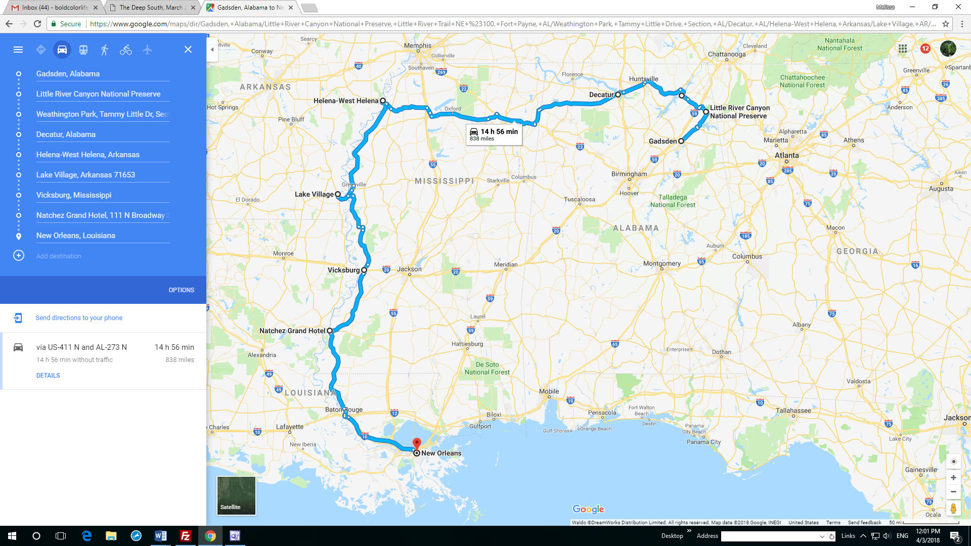
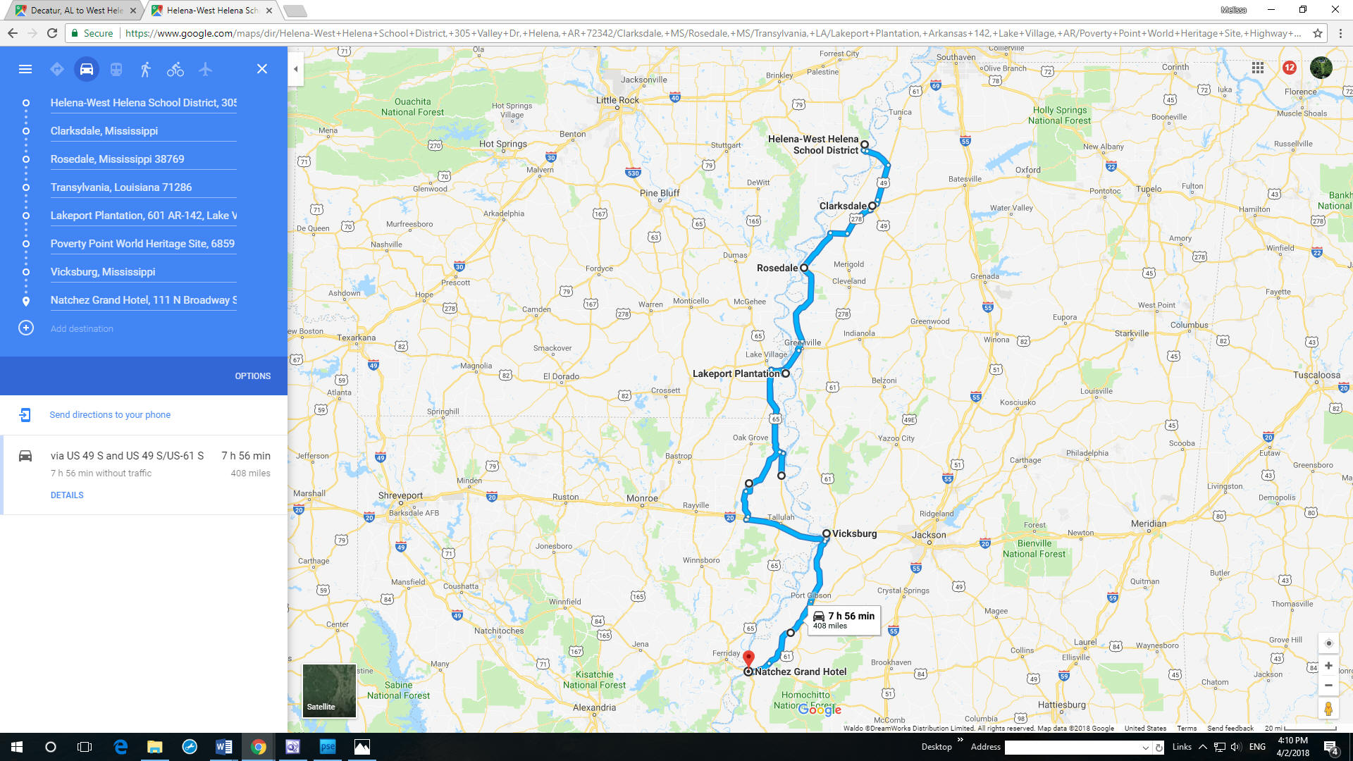
This was the plan
for the second half of the trip. |
|
|
|
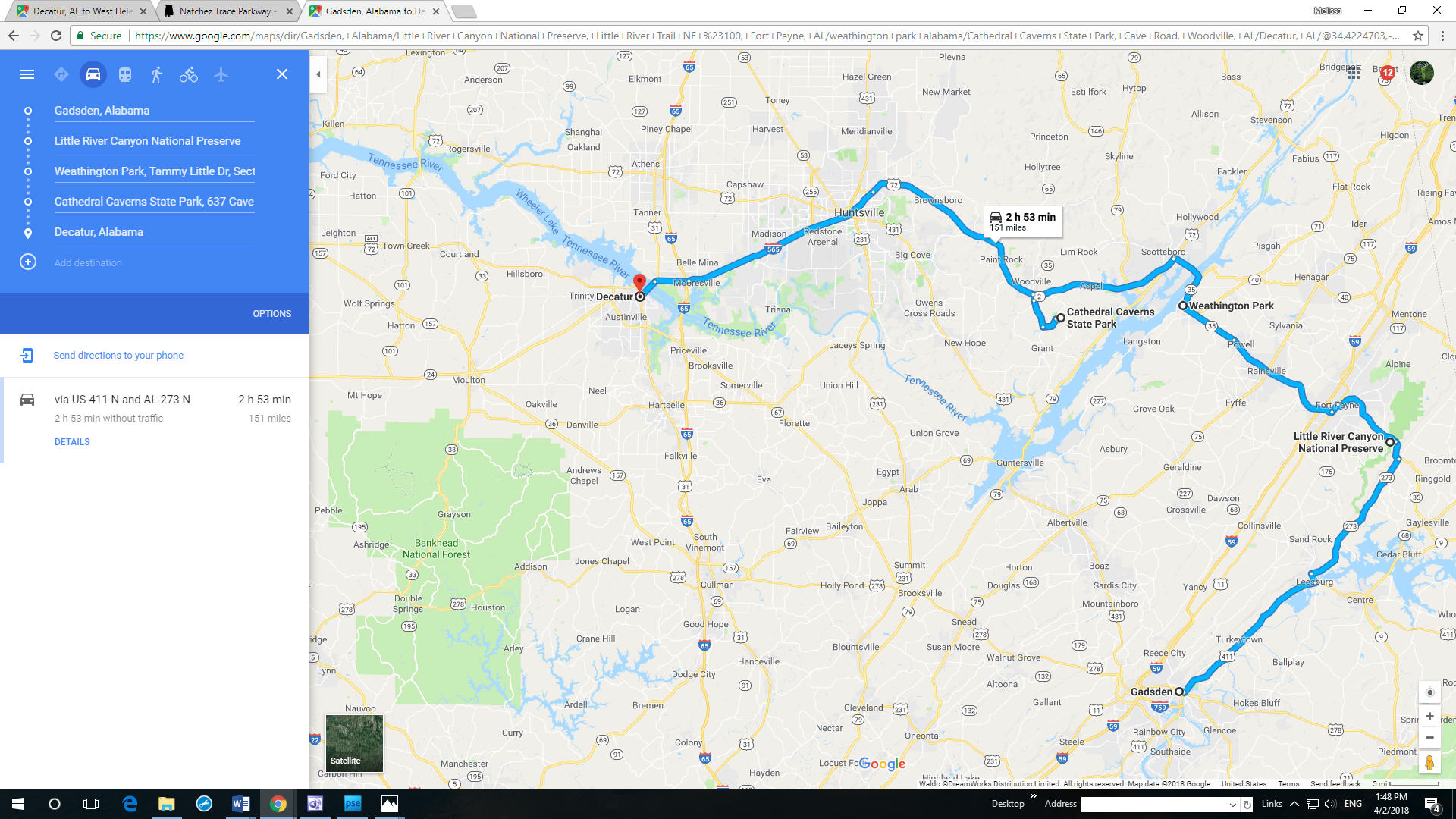
March 9
Gadsden, AL to Decatur, AL
Here's the
detail. |
 |
|
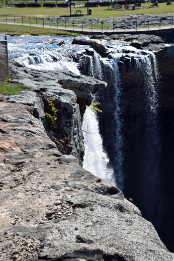
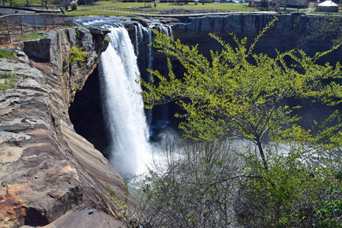
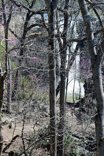
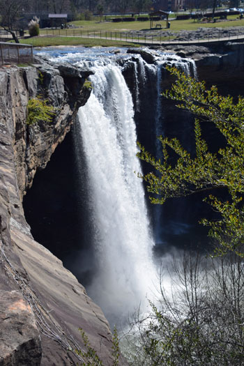
Gadsden had
the first of the awesome Falls.... |
|
|
 |
|
|
 |
|
|
|
|
 |
|
|
 |

|
|
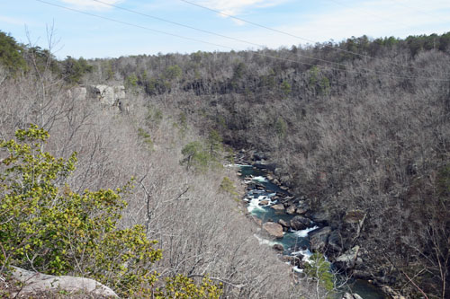
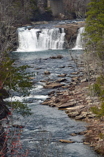
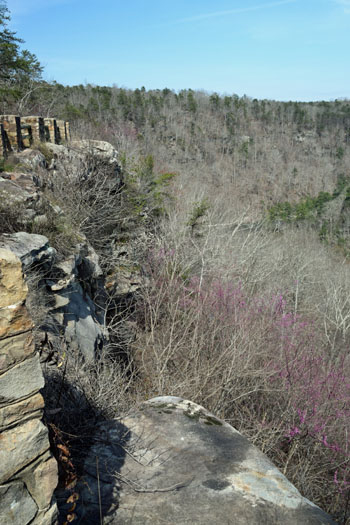
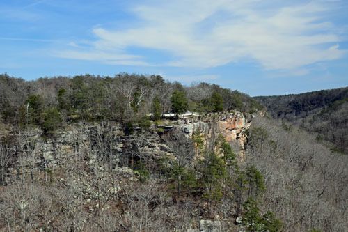
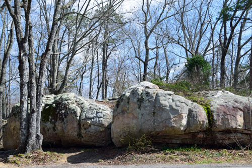
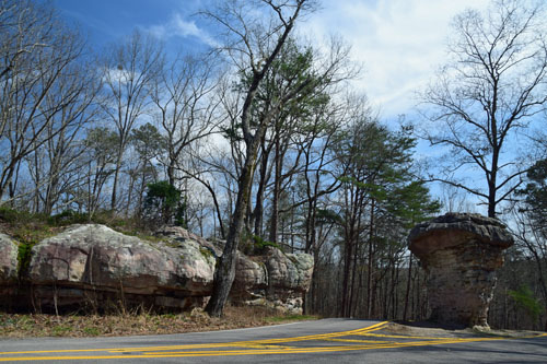
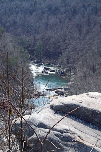
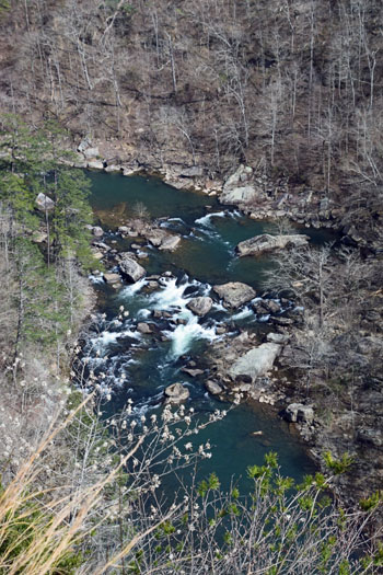
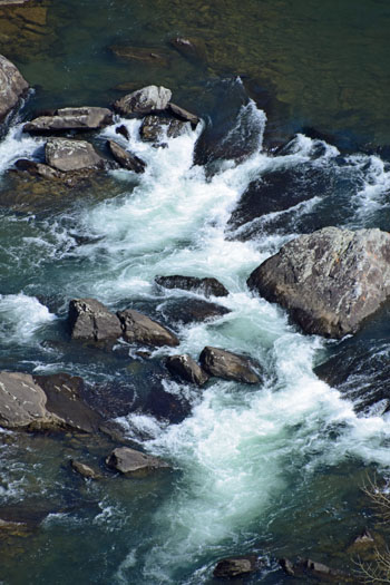
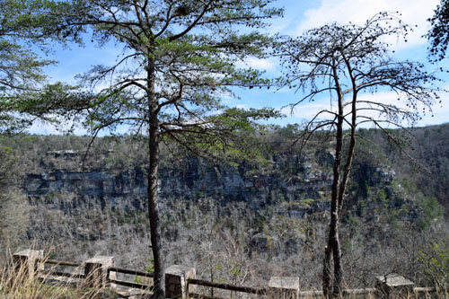
And into Little
River Canyon Preserve, a national park known for waterfalls! |
 |

|
 |
|
|
 |
|
|
 |
|
|
|
|
 |
|
|
 |
|
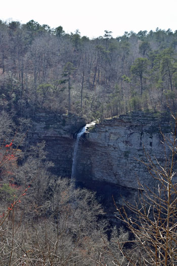
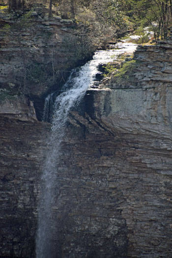
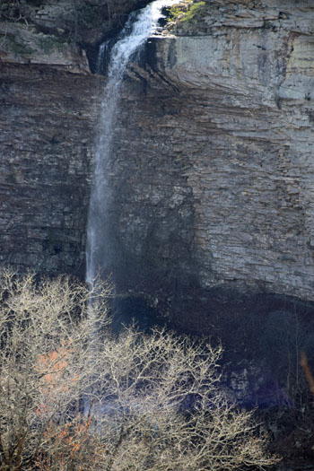
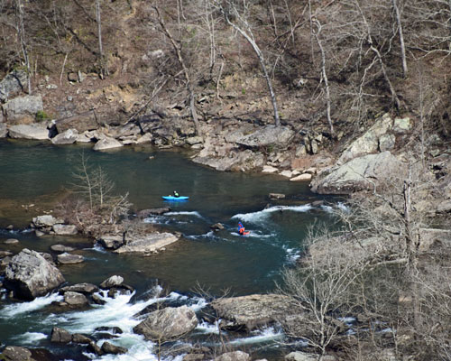
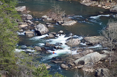
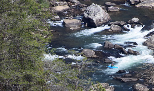
And it was JUST the
right season for this seasonal Falls! And the kayakers were taking
advantage of the spring run-off too. |
|
|
 |
|
|
 |

|
|
|
|
|
 |
|
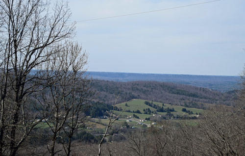
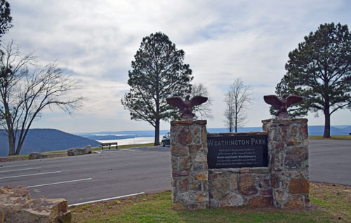
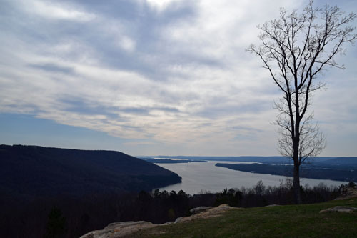
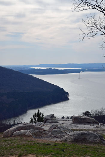
Then back towards
civilization...and a wonderful serendipitous sighting of an Alabama
favorite view at Weathington Park...between Fort Payne and Scottsboro.
|
|
|
|
 |
|
|
 |
 |
|
|
|
|
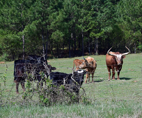
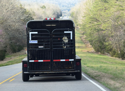
The cows in this van
were just as curious about me as I was about them!
I wandered back road
after back road and reached Cathedral Caverns, but it was a bit too late
for the last tour. Then I reached Decatur and settled in for the
night.... |
|
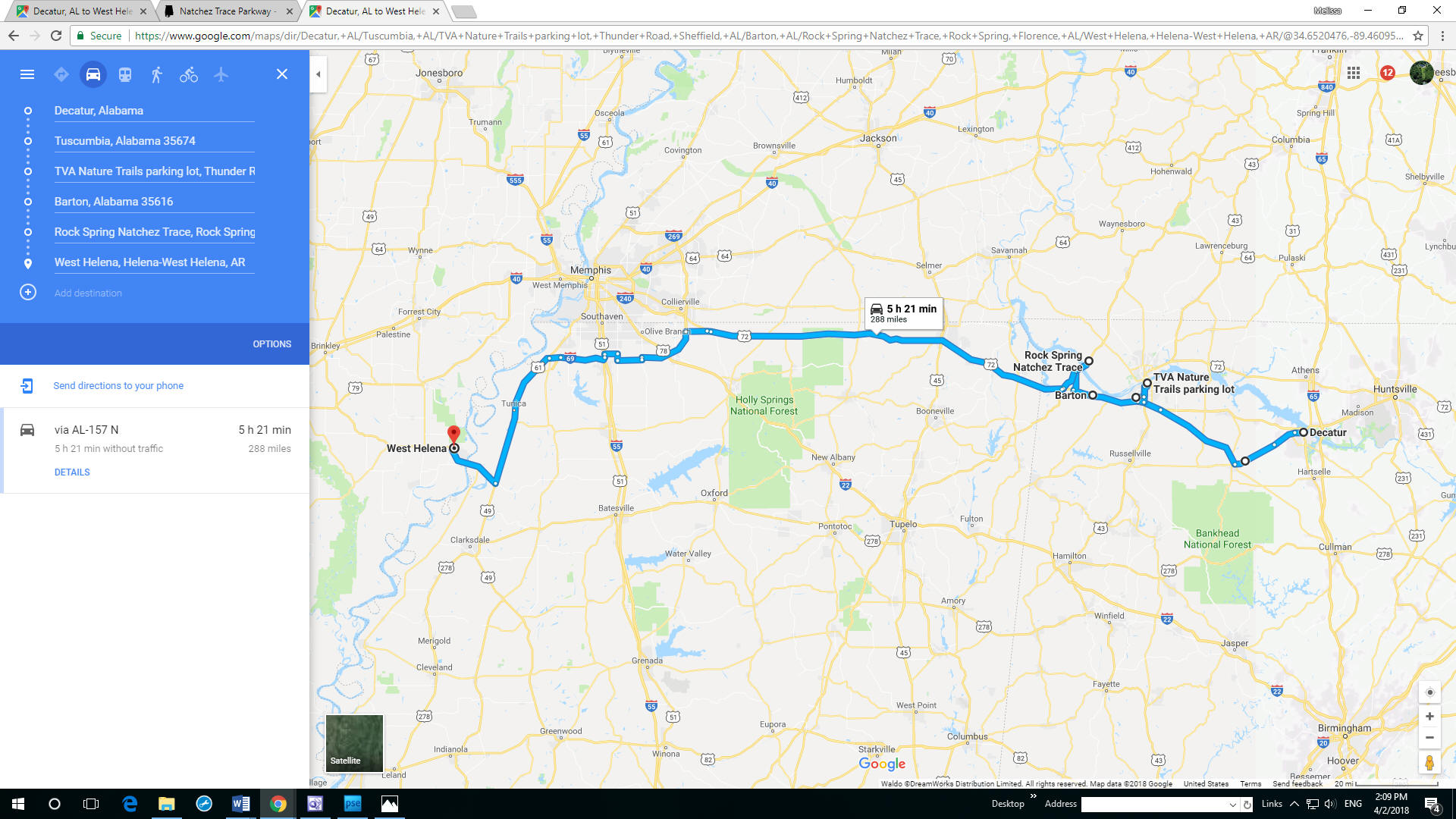
March 10 Decatur to
West Helena, ARK |
|
|
|
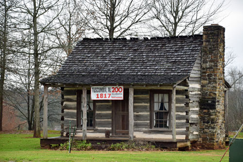
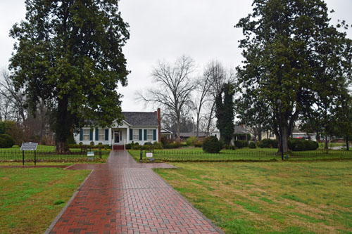
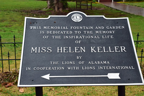
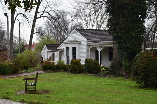
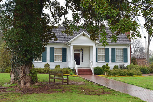
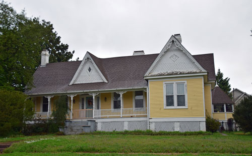
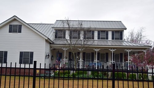
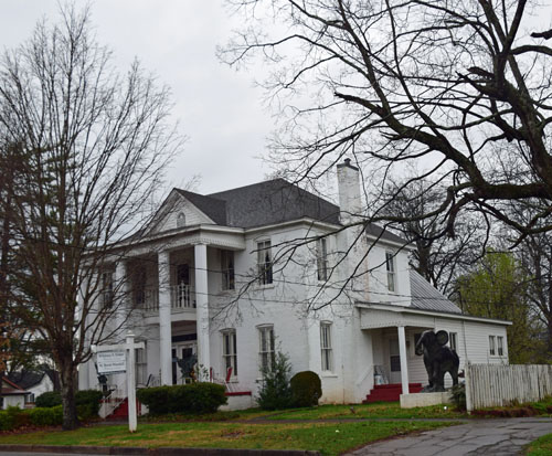
Tuscumbia
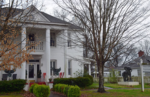
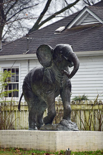
was the home of Helen Keller...and her various neighbors...
|
|
|
|
|
 |
|
|
 |
|
|
 |
|
|
 |
|
|
|
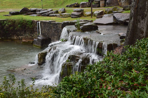
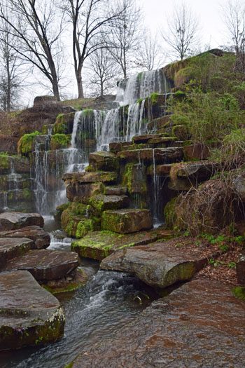
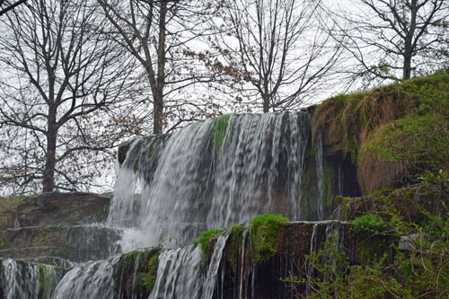
The first of the two
man-made waterfalls was at Spring Park. I'm hoping to build a waterfall
into my big pond, so took a LOT of photos here.
|
 |
|
|
|
 |
|
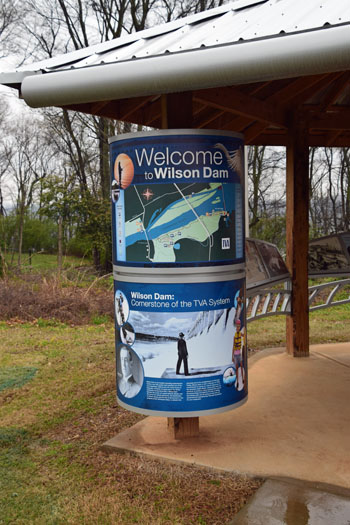
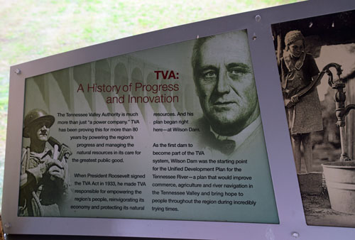
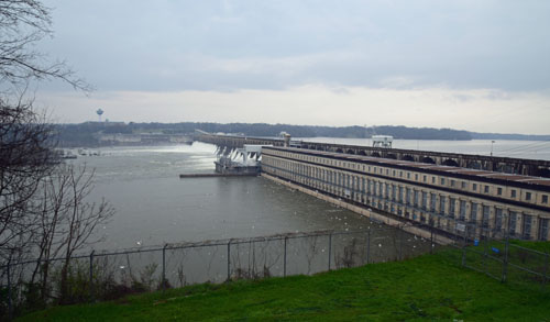
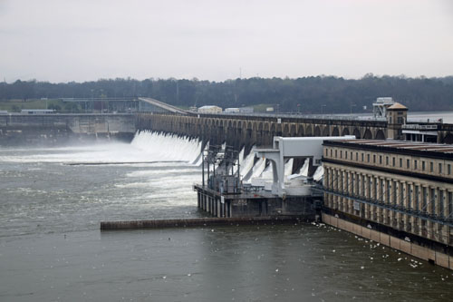
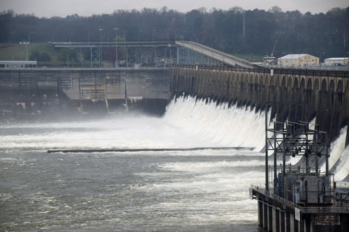
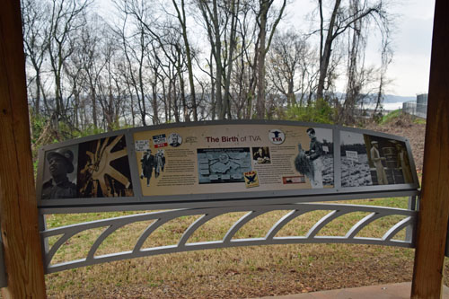
The second of the
man-made falls is at the Wilson Dam, the first part of the awesome
TVA-Tennessee Valley Authority, which was signed into being by President
Roosevelt in 1933 to provide power and growth from the Tennessee River
for the entire area. This area also has nature trails...with great
views!
|
|
|
 |
 |
|
 |
|
|
|
|
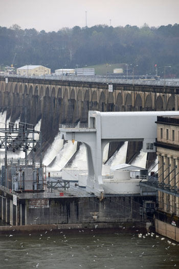
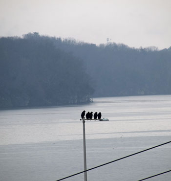
There must be lots
to eat at such a major fall, as the pelicans and seagulls were out in
the hundreds. |
 |

|
|
There's always a
gaggle of biddies gathered to gossip and schmooze....and there's always
a group that's ready to break the rules....
|
|
|
 |
|
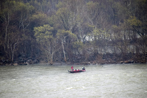
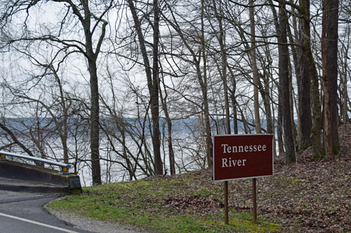
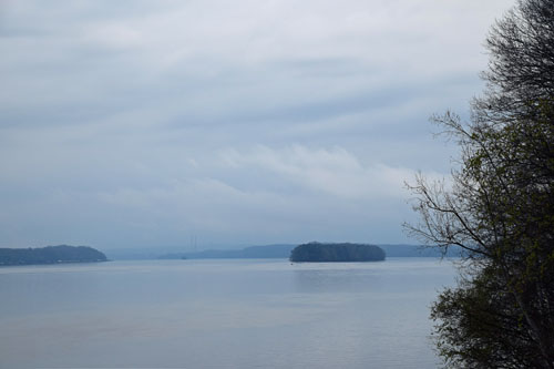
The Mississippi
River was a major draw for this trip, but the Tennessee River really was no
slouch!
In fact, further
west, in the early 1800s, the width of the Tennessee had been a major obstacle to
travel and trade and war
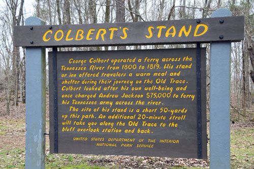
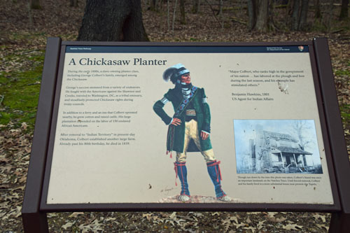
until a half Scot/half Chickasaw planter, George Colbert, found
a way to profit off of its size.
He built a ferry and an Inn on the
site...and charged General Jackson $75,000 to ferry his troop home after
the the Battle of New Orleans in the War of 1812!! |
|
|
|
|
|
|
|
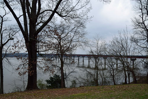
This bridge put an
end to the lucrative ferry business. |
|
|
|
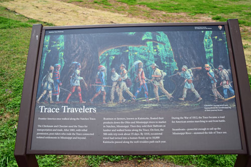
Colbert's Ferry is
one of the mile-markers on the Natchez Trace Trail...a 444 mile scenic
trail, through three states, that began as a footpath used by the Chickasaw and Choctaw
for transportation and trade. After 1801, they allowed post riders,
boatmen and farmers to use it...and finally, army troops during the War
of 1812. |
|
|
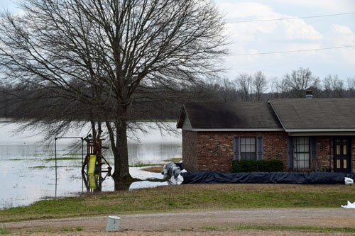
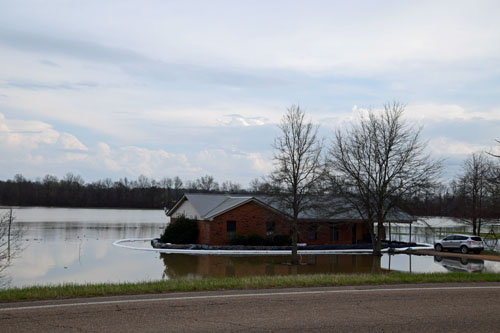
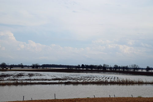
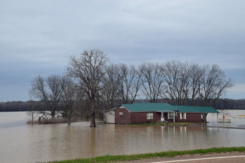
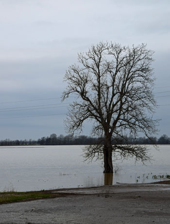
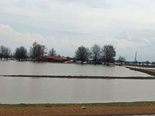
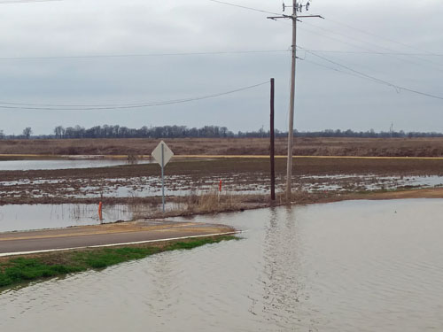
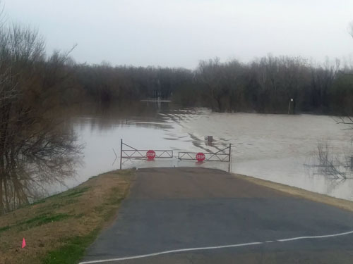
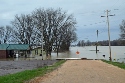
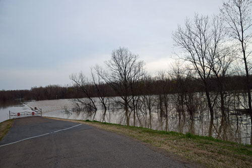
Heading west, the mighty
Mississippi was already overflowing its shores when I was there in early
March. Crop
fields and homes and driveways were just covered or sitting in water.... |
|
|
 |
 |
|
 |
 |
|
|
|
|
|
|
Roads were simply
impassable...without a boat...or a swimsuit. |
|
|
 |
|
|
|
What a powerful
force of nature!
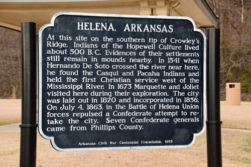
Then west to find a place to sleep...the nearest spot
was in West Helena, Arkansas...with a long history of events, since there isn't
much else in the area. |
 |
|
March 11
I thought I'd
be able to hike in the St. Francis National Forest nearby, but they've
'updated' it so that all the trails are for horseback riding....
and I thought I'd be able to hike in the Oachita Mountains of Arkansas,
but when I actually counted the miles, it was clear that wasn't going to
happen in my timeframe either.
So I retraced my
steps to the eastern side of the Mississippi River... |
 |
|
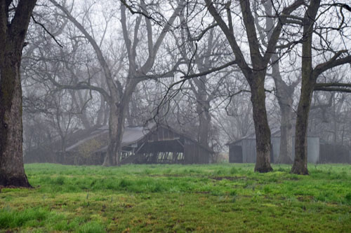
|

Hawk or Owl???
Either way, it didn't belong just sitting by the side of the road.... |
|
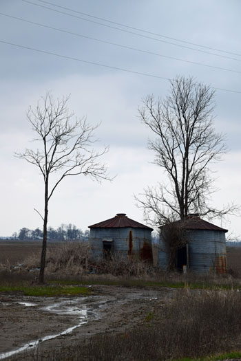
|
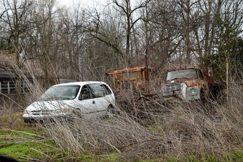 |
|
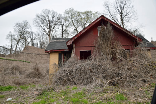
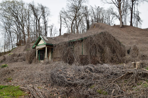
And I thought I had
trouble with vines!! I guess everything grows BIG when it's regularly
flooded by the Mississippi. |
|
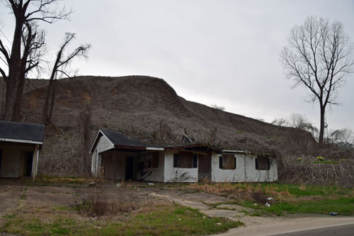
|
|
|
 |
|
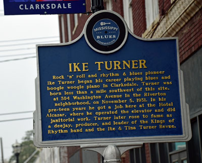
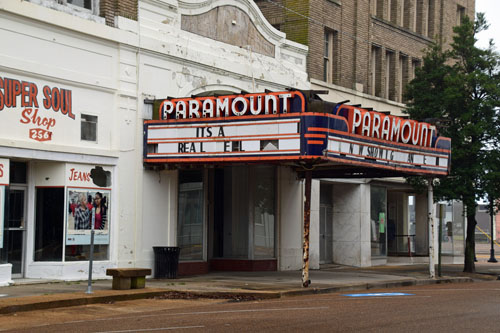
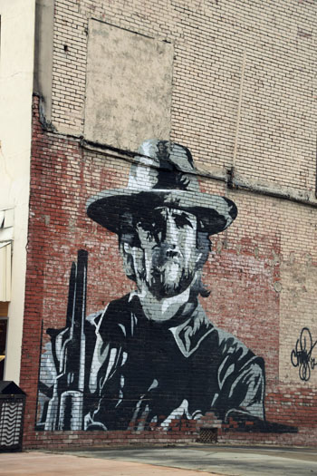
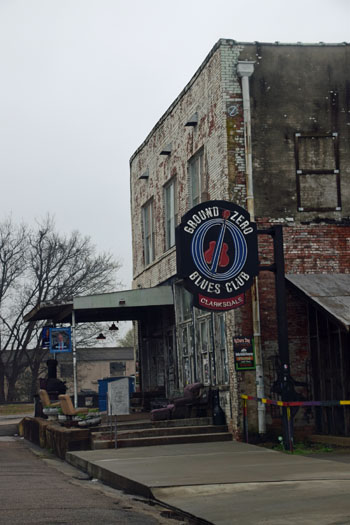
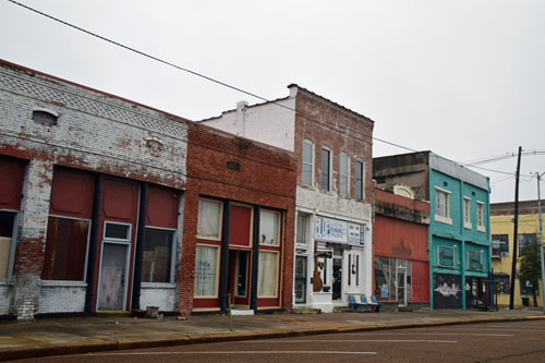
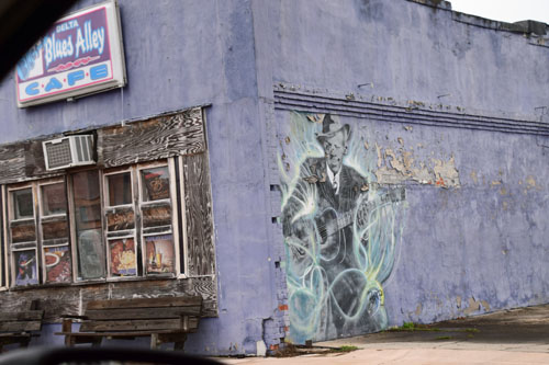
Then, heading South,
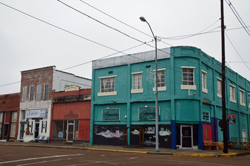
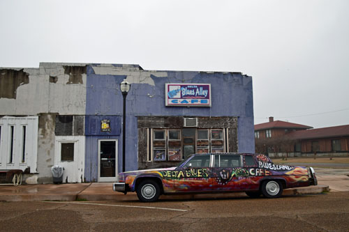
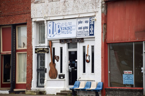
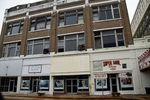
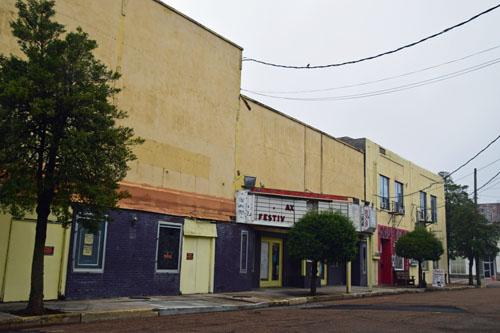
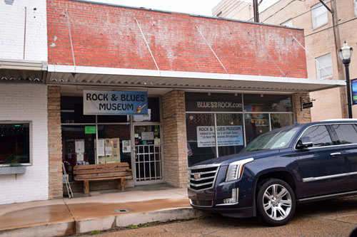
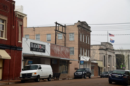
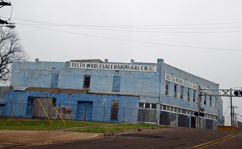
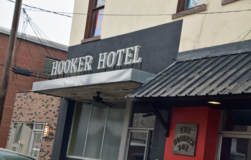
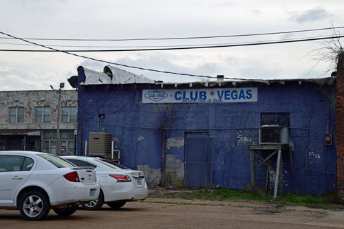
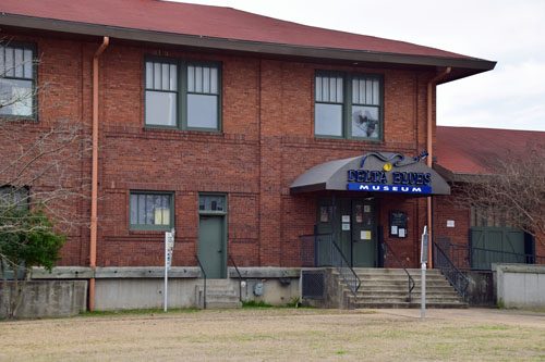
I wandered through the MOST depressing town of the entire trip,
Clarksdale, MS, where the Blues were born.
I completely
understand how the Blues could only have originated here...take a look.
|
|
|
|
|
 |
|
|
 |
 |
|
|
|
 |
|
|
 |
|
|
 |
|
|
 |
|
|
 |
|
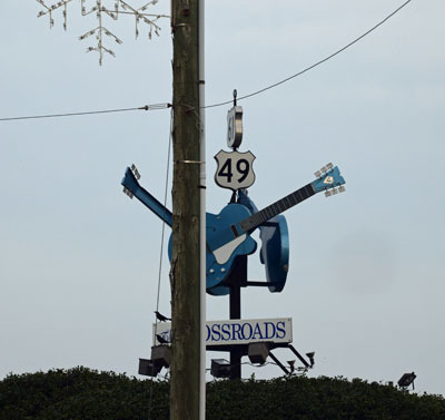
The famous
Devils' Crossroads.
|
 |
|
This town
reeks despair, hopelessness...neglect...almost a hundred years after the
birth of the blues!
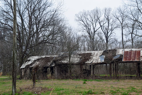
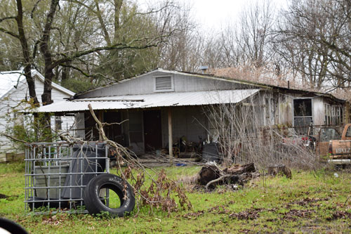
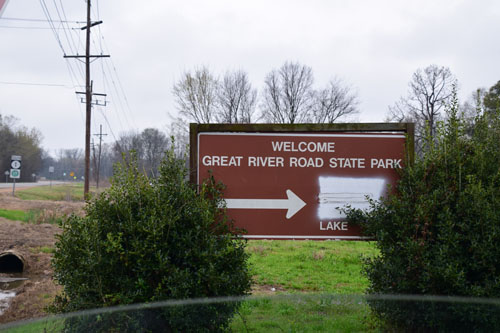
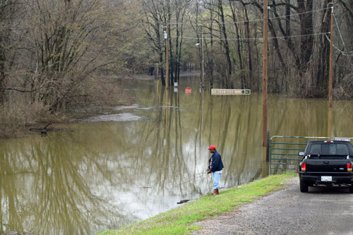
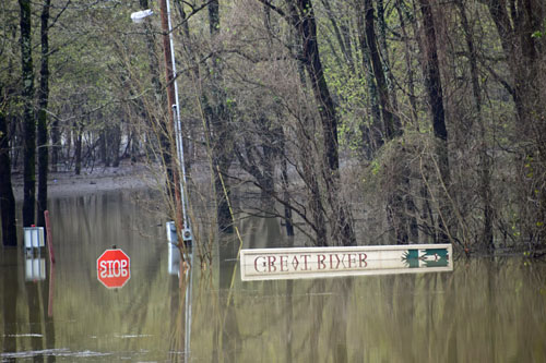
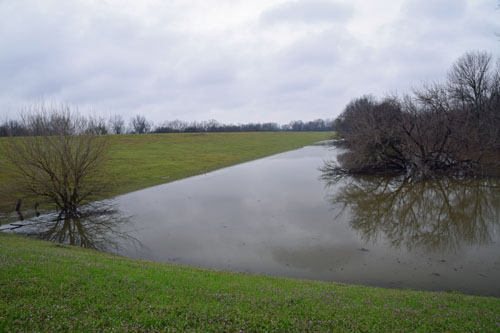
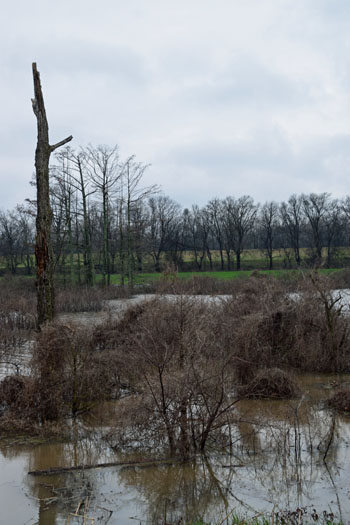
So on South,
wandering over to the river whenever I could to catch a glimpse.
|
|
 |
|
|
|
|
 |
|
|
 |
|
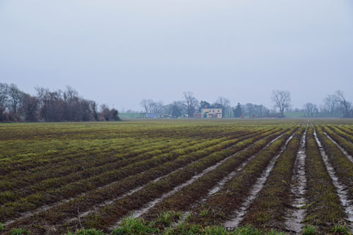
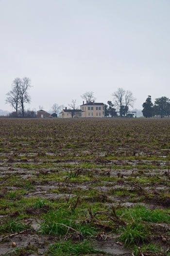
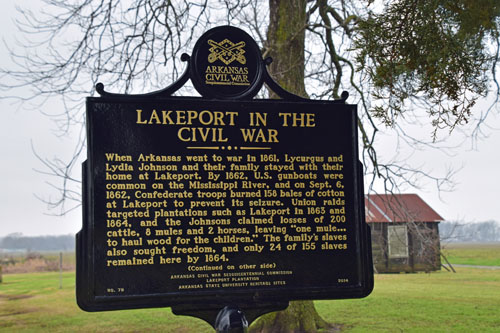
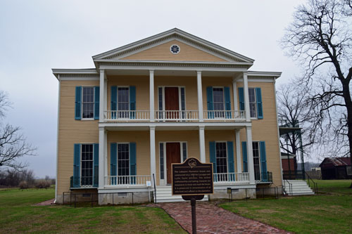
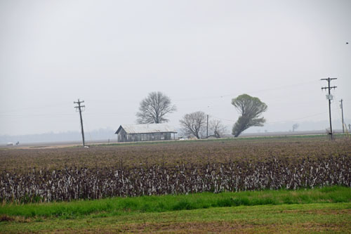
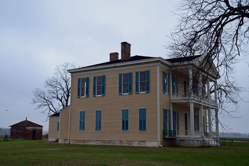
Then to the Lakeport
Plantation on the Mississippi River...on the Arkansas side.
|
 |
|
|
|
 |
|
|
 |
|
|
|
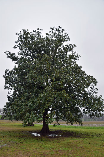
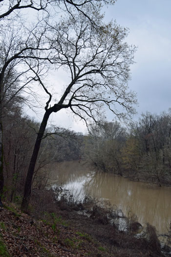
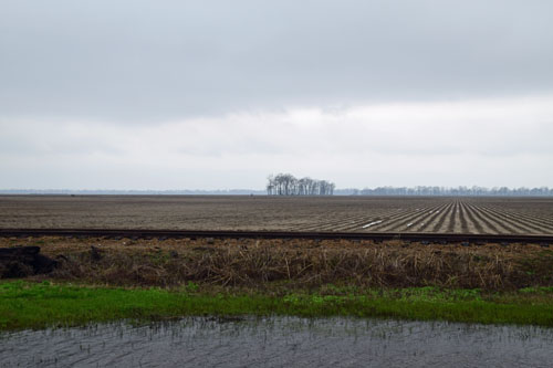
Then towards the Poverty
Point World Heritage Site...everywhere the same story. The Mississippi had over run its
banks.
But my new favorite tree, the Wax Myrtle, with its big shiny
leaves, loves the water!
|
|
|
 |
|
|
 |
|

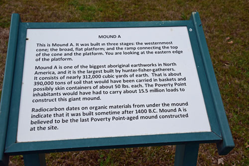
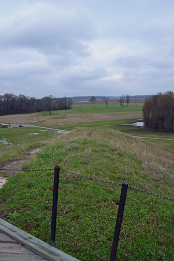
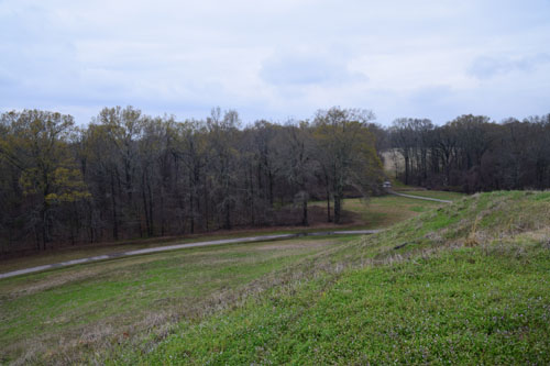
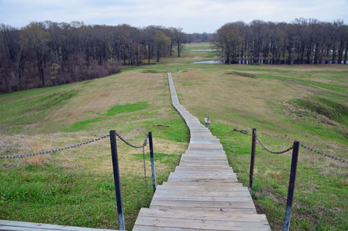
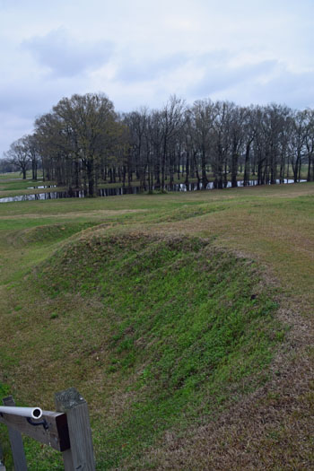
Dated between 1700 and 1100 B.C., this site is unique
among archaeological sites on this continent. It was part of an enormous
trading network that stretched for hundreds of miles across the
continent. It was...and is...an engineering marvel, the product of five
million hours of labor.
The time was eight centuries after Egyptian laborers
dragged huge stones across the desert to build the Great Pyramids, and
before the great Mayan pyramids were constructed. The place was a site
in what is now northeastern Louisiana. The people were a sophisticated
group who left behind one of the most important archaeological sites in
North America.
The Poverty Point
inhabitants built a complex array of earthen mounds and ridges
overlooking the Mississippi River flood plain. This accomplishment is
particularly impressive for a pre-agricultural society. The central
construction consists of six rows of concentric ridges, parts of which
were as high as five feet. The diameter of the outermost ridge
measures nearly three-quarters of a mile. It is thought that these
ridges served as foundations for dwellings although little evidence of
structures has been found.
It has
been estimated that landscape preparation and earthworks construction
may have required moving as many as 53 million cubic feet of soil.
Considering that a cubic foot of soil weighs 75-100 pounds, and that the
laborers carried this dirt in roughly 50-pound basket loads, it is
obvious that this was a great communal engineering feat.
Poverty Point's inhabitants imported stone and ore over great distances.
Projectile points and other stone tools found at Poverty Point were made
from raw materials which originated in the Ouachita and Ozark Mountains
and in the Ohio and Tennessee River valleys. Soapstone for vessels came
from the Appalachian foothills of northern Alabama and Georgia. Other
materials came from distant places in the eastern United States. The
extensive trade network attests to the complex and sophisticated society
that built the Poverty Point earthworks.
.
|
|
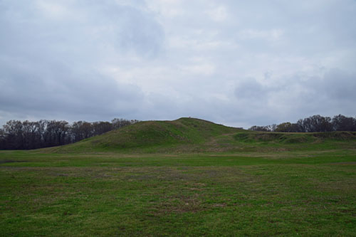
The Park Ranger in
New Orleans who had described this site made it sound quite
breathtaking. It is an awesome accomplishment, but the awe must
be generated in one's imagination, as the mounds that remain over 3000
years later are...well....large mounds of earth. I did see a herd of 8 white
tailed deer on the site, though. :-) |
|
|
 |
|
|
 |
 |
|
|
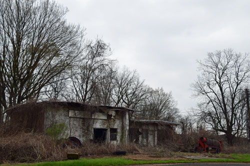
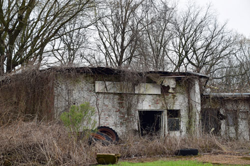
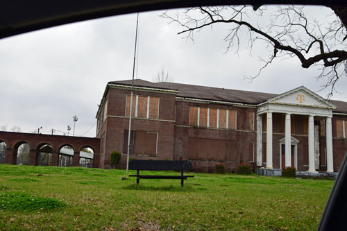
Then on east to
Transylvania (I had to check it out...looked for large bats but just
found poor country)....and further
South... |
|

|
 |
|
|
 |
|
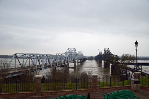
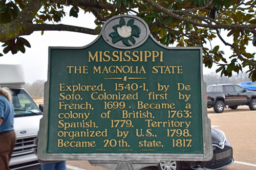
...to Vicksburg, MS...and
then to follow the Mississippi River for a while on a narrow,
winding residential route 61. |
|
|
|
|
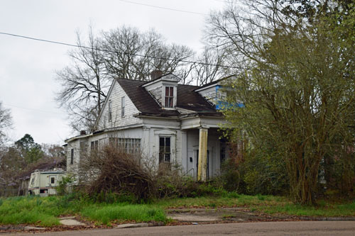
On the way to
Natchez, MS...it was the usual...extremes. |
|
|
 |

|
|
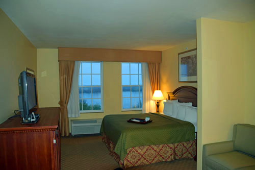
And I made a
bee-line for The Grand Hotel in
Natchez, MS...because it was historical and located right on the Mississippi River....that's
the river view from my window!
 |
|
|
Ahhhh....a lovely
two room suite to be my sanctuary for two nights while I figure out how to get home.
Boothbay, Maine
was having its third snowstorm...and American Airlines cancelled my
flight out of New Orleans.
One look at Natchez and I knew I'd rather spend my extra day here than
in the loud, hot, dirty, traffic-ridden New Orleans.
Woo hoo!!! |
|
March 12
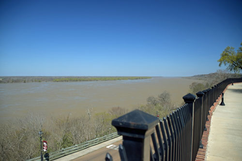
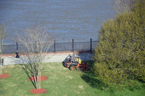
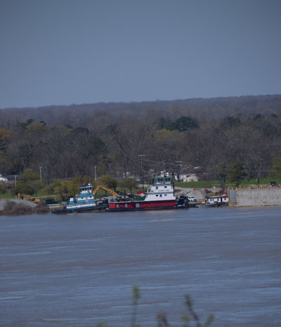
The views out my
window included the river and a couple of barges...and also a man mowing
a lawn...such a lovely sound and smell for a winter-weary gal.
|
|
|
 |
 |
|
|
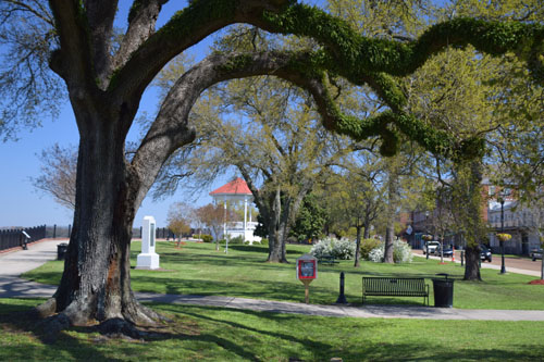
And the man was
mowing a lovely riverfront park. |
|
|
|
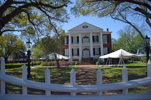
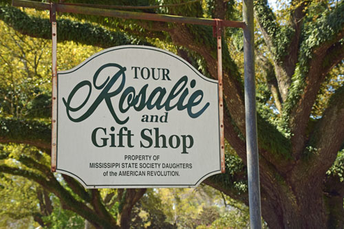
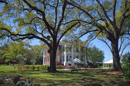
Here begins my real
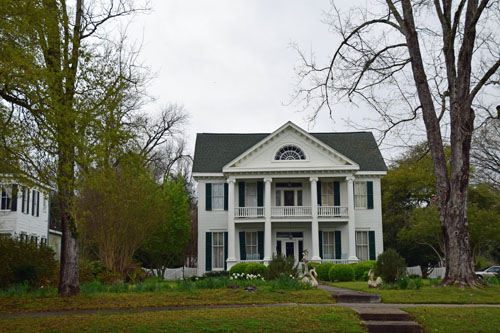
love affair with the historic houses and plantations of Mississippi.
Right down the street from my hotel...and on the river itself...the
Rosalie House. |
|
|
 |
|
|
 |
|
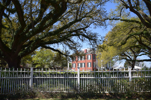
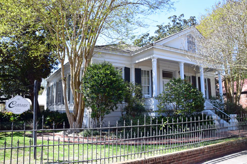
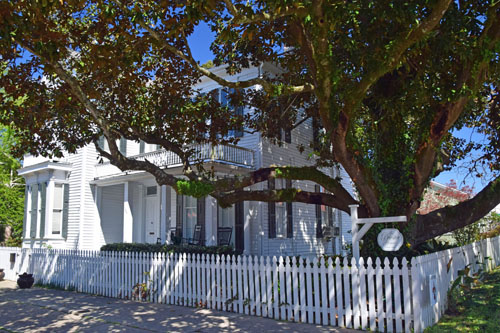
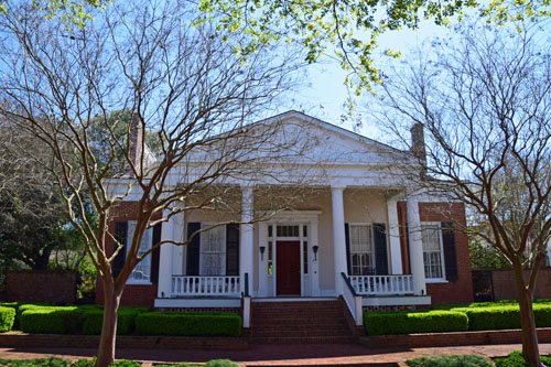
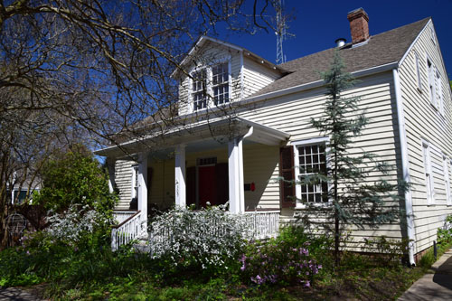
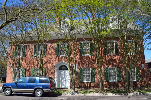
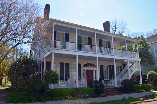
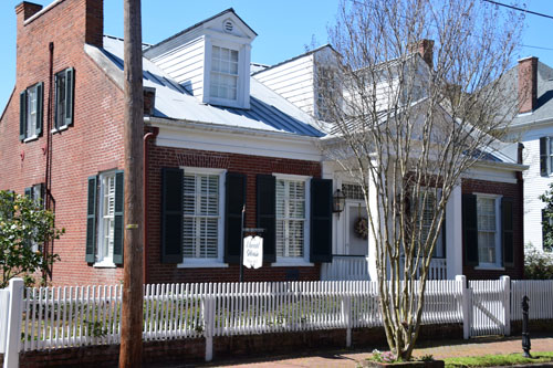
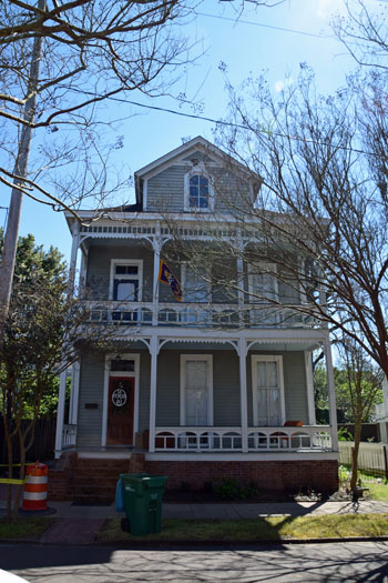
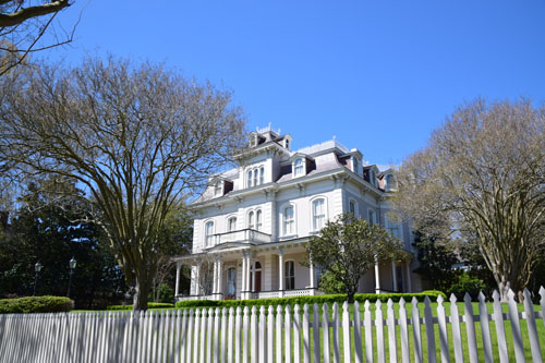
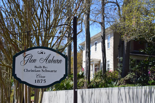
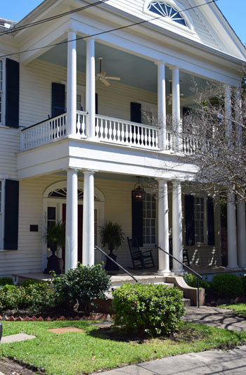
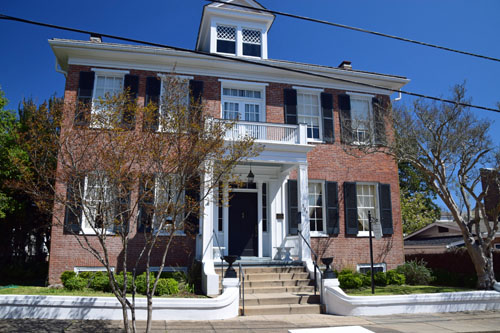
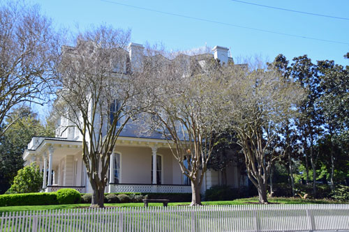
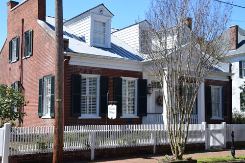
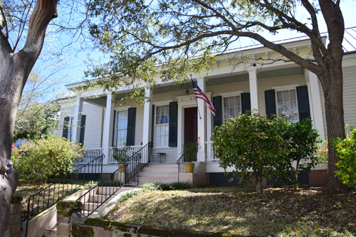
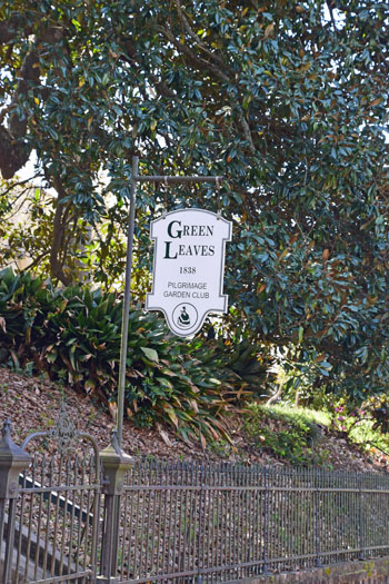
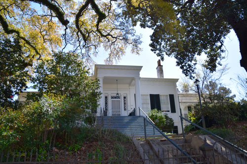
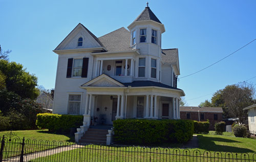
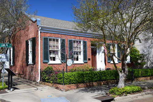
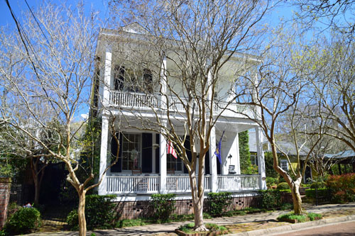
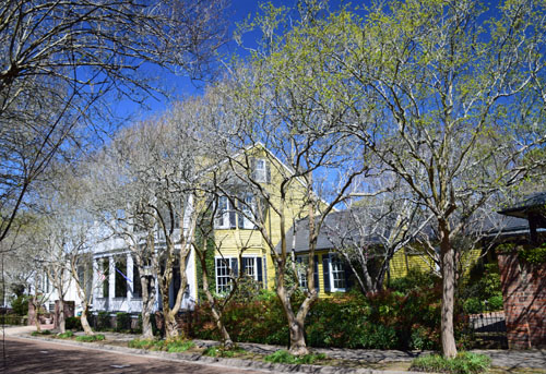
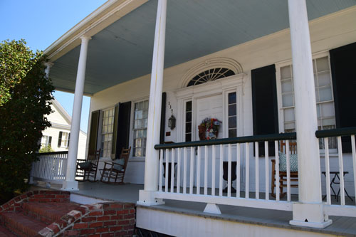
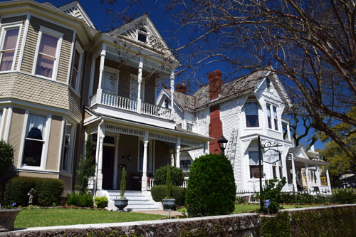
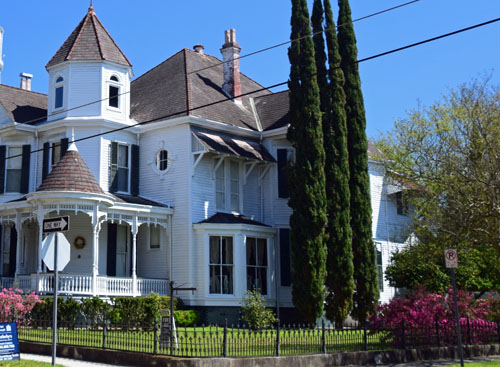
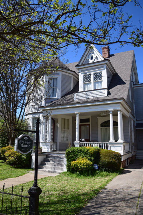
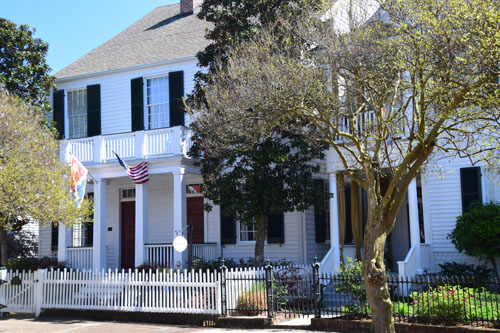
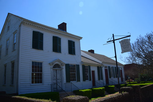
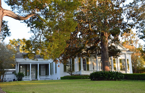
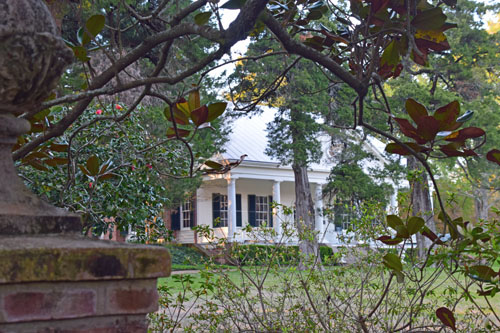
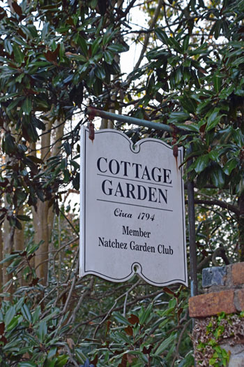
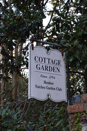
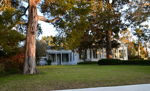
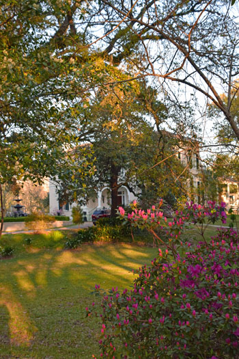
The 'Cottage'...and
the Priestley House...whether the building is a home or a mansion...the
whole town is lovingly cared for...
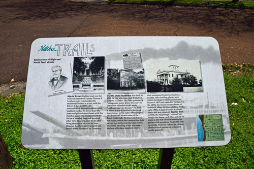
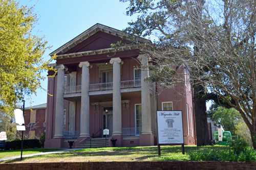
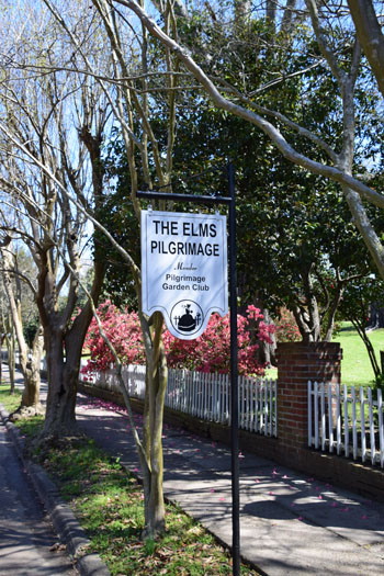
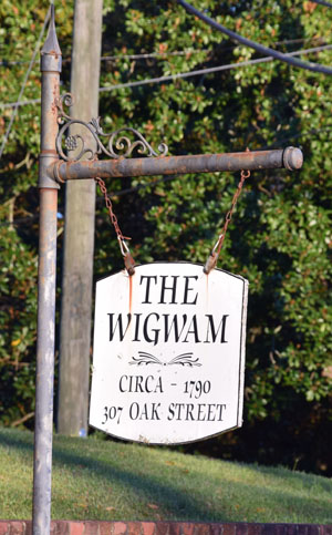
There are signs on
most corners, describing the historic houses on the block...and their
importance to the history of Natchez. Really cool. |
|
 |
|
|
|
 |
|
|
 |
 |
|
|
|
 |
|
|
 |
|
|
 |
|
|
 |
|
|
|
|
|
 |
|
|
 |
|
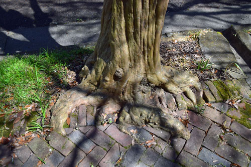
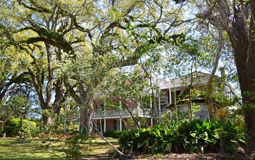
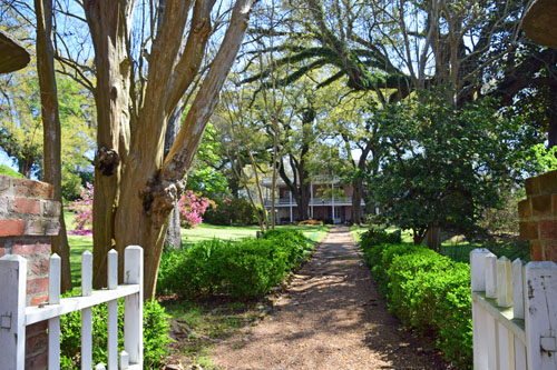
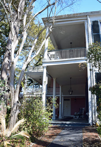
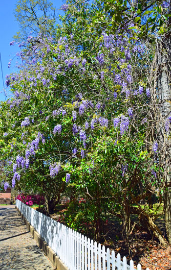
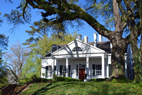
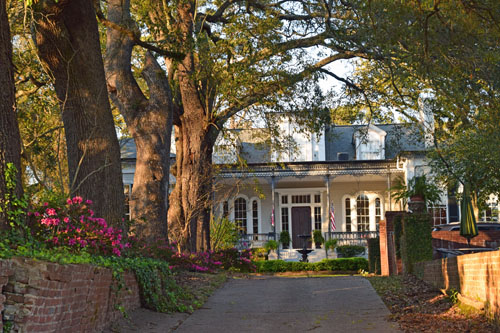
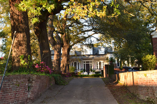
The Southern trees
are awesomely large and expansive...and their roots are stubborn as
anything...working their way through man's attempt to groom the area. |
|
|
|
|
 |
|
|
 |
|
|
 |
|
|
|
|
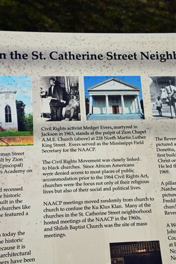
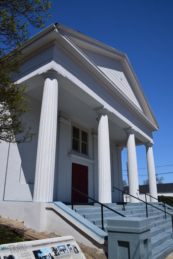
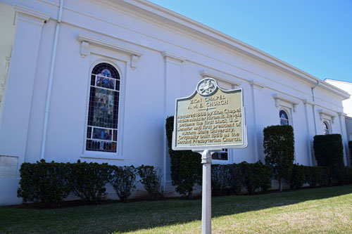
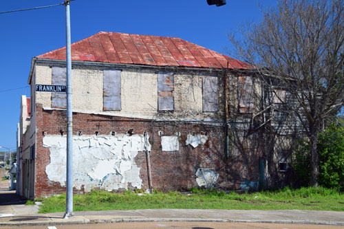
Farther from the
river, the buildings were less grand...but more important in the history
of Civil Rights. |
 |
|
|
|
 |
|
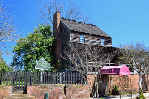
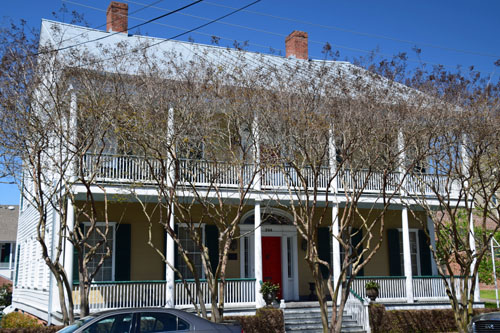
King's Tavern, left
below, is the oldest standing building in the Mississippi Territory and
in Natchez. |
|
|
 |
|
|
 |
|

|
 |
|
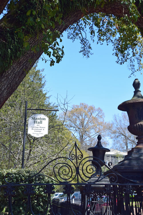
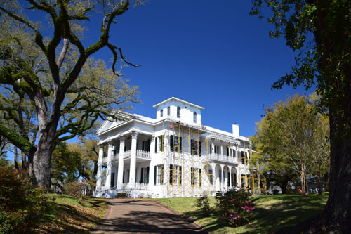
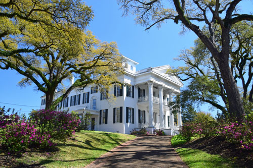
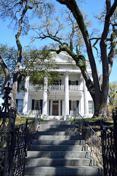
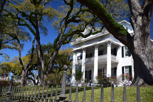
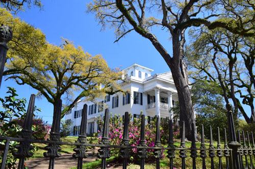
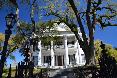
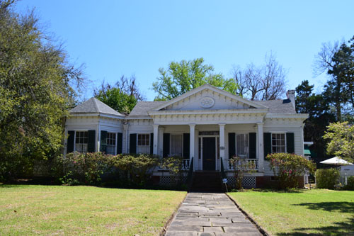
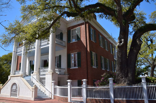
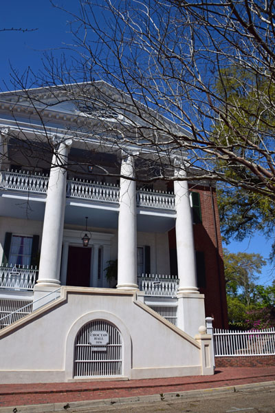
Perhaps the 'Grand
Dame' of the Natchez town mansions is Stanton Hall...close to the
river...and now used for events |
 |
 |
 |
 |
|
|
 |
|
|
|
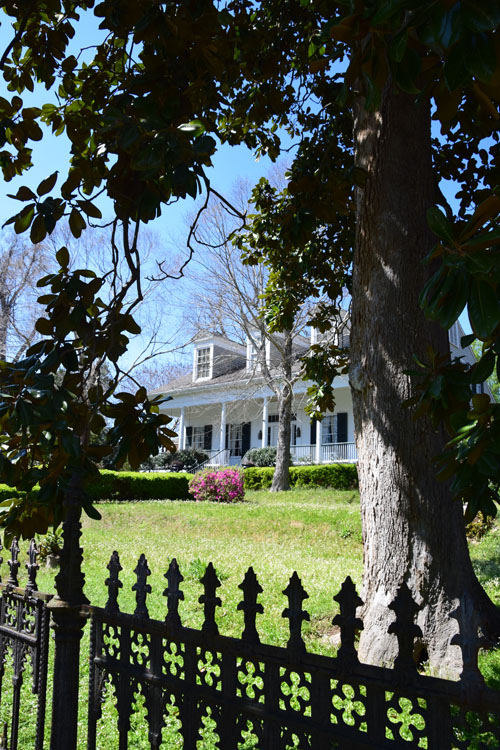
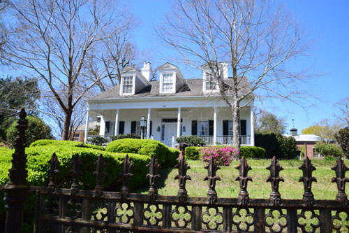
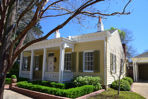
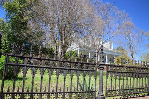
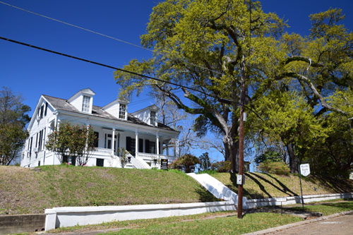
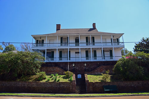
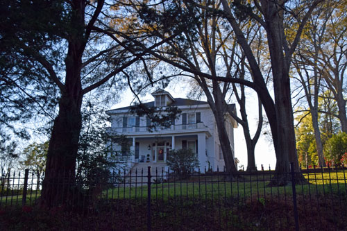
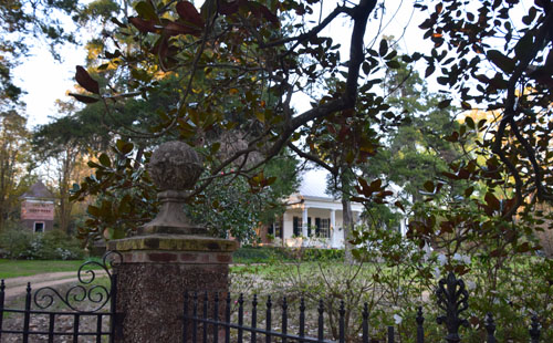
But the neighbors
weren't too shabby either. And some of the fences were amazing. |
|
|
 |
|
|
 |
 |
|
|
|
 |
 |
|
|
|
 |
|
|
|
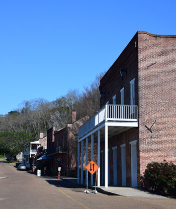
The Natchez Bluffs
and 'Under the Hill' area is right on the Mississippi...and once
contained all of Natchez--about 20 buildings at the time of the
Revolutionary War. Gradually houses were built on the bluff and the
'Upper Town' is now the real Natchez. These old buildings--where
gamblers, river pirates, highwaymen and prostitutes used to roam--are
now shops.
|
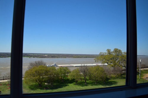
After a great long
walk in the sunshine, I stopped back in the Grand Hotel area for lunch
and caught a huge barge on the river when I looked out my hotel window.
Then I set out to see the plantations on the periphery of town. Daylight
Savings had happened by then, so I had an extra hour for exploring.
|
|
|
|
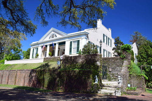
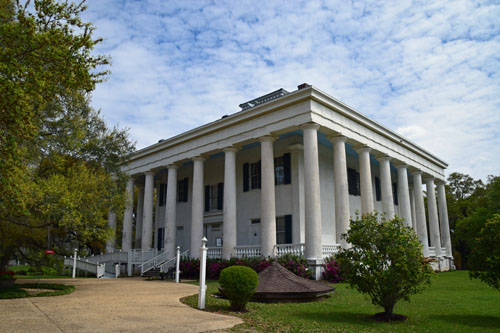
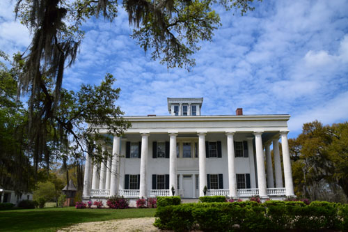
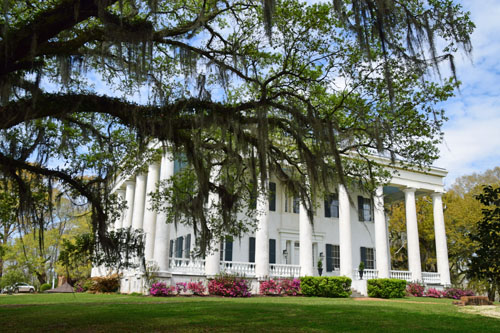
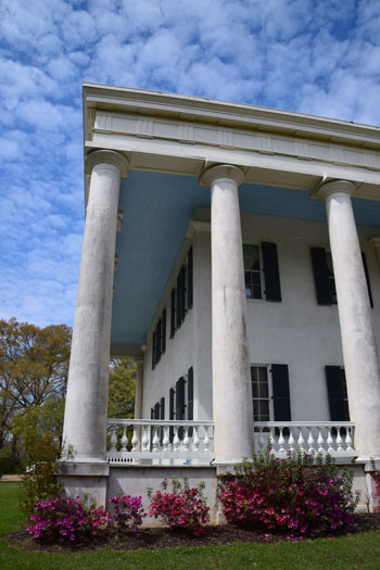
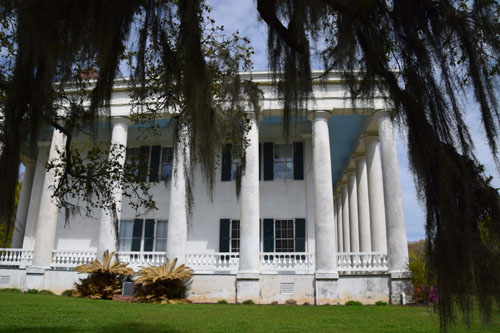
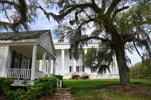
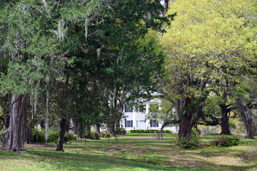
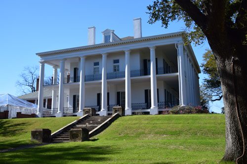
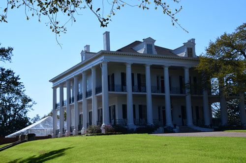
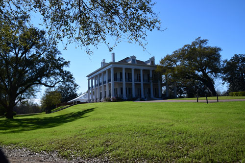
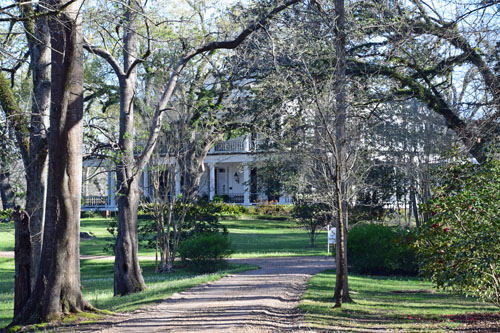
There were two
'stand-out' mansions in the outer areas of Natchez. The first is
Dunleigh...beautiful and impressive from every angle.
Job Routh and his
wife built this house in the late 18th century. Their daughter, Mary, a
widow at 15 years old, took a second husband and inherited the house,
but in 1855 lightning struck the chimney and it burned to the ground.
Mary died three years later and her second husband sold the estate for
$30,000 and Alfred Vidal Davis gave it the Scottish name of Dunleith.
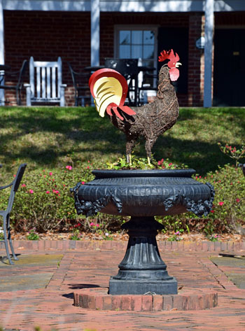
It's now on the market for $7 million...22 luxury guest bedrooms,
in-ground swimming pool, Bocce and croquet court. A second building
which used to house the servants, a restaurant and pub in the old
carriage house, a guest house in the dairy barn building, guest check-in
in the poultry house and a greenhouse and garden outbuildings!! |
|
|
 |
|
|
 |
 |
 |
|
|
|
 |
|
|
 |
|
|
 |
|
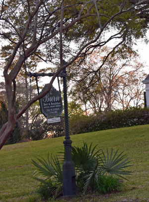
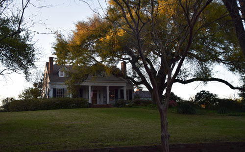
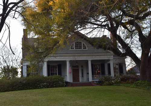
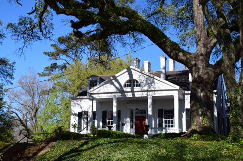
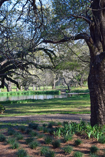
The Burn is an 1832
home that is notable because it is purely Greek Revival. |
|
|
 |
|
|
 |
 |
 |
|
|
 |
|
|
 |
|

|
 |
 |
|
|
 |
|
|
|
|
 |
|
|
|
|
|
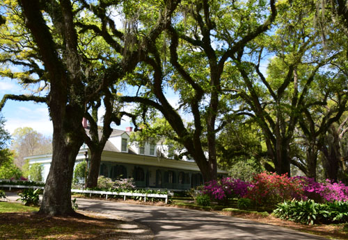
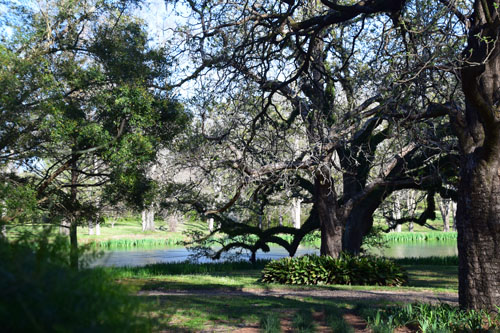
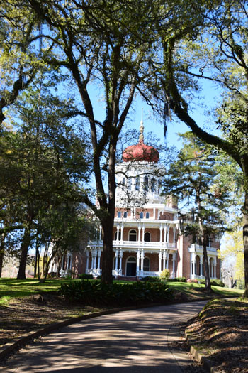
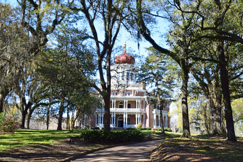
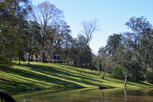
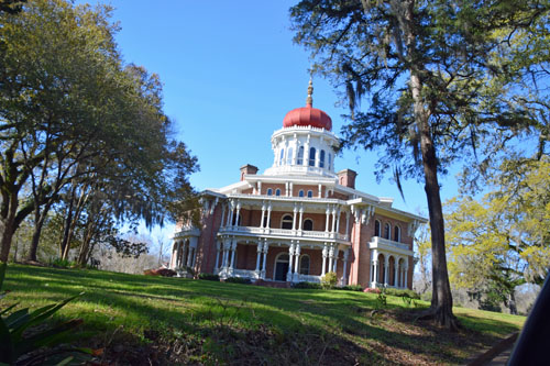
Brandon Hall, above,
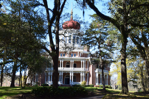
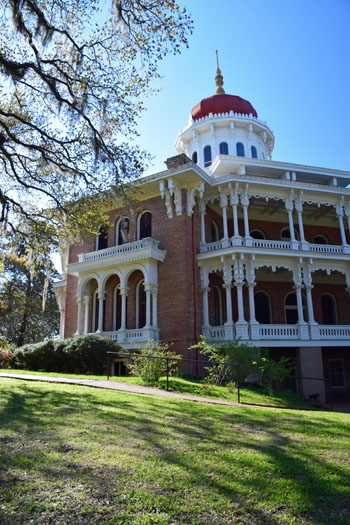
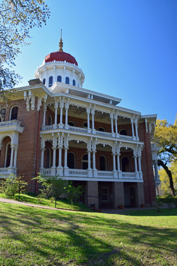
is a lovely property, but the second of the outlying 'stand-out'
mansions is the famous Longwood Mansion...the largest octagonal house in
America. |
|
|
|
|
 |
|
|
 |
|
|
 |
|
|
 |
|
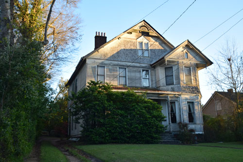
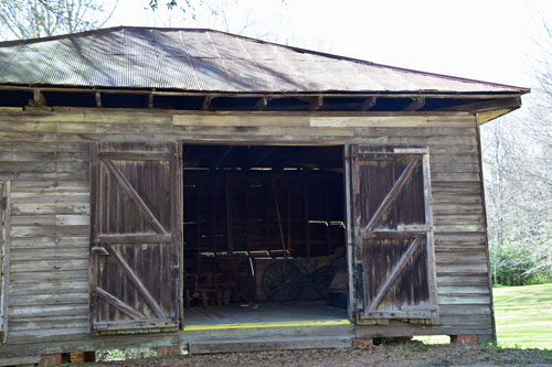
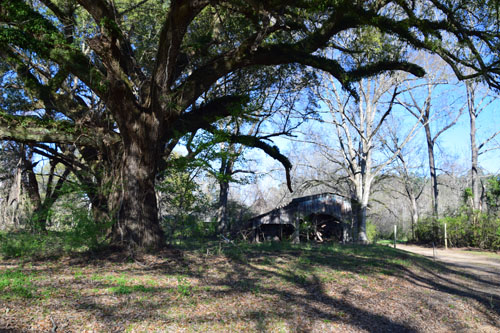
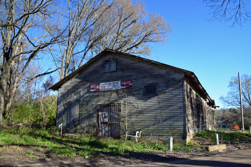
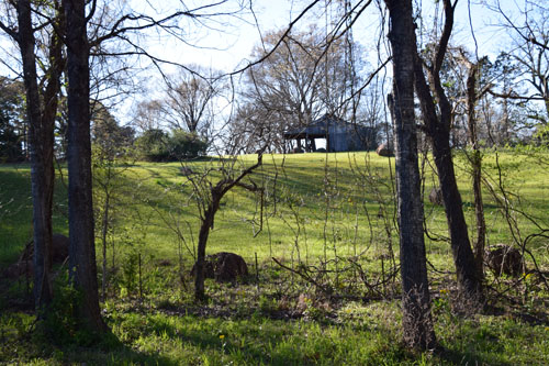
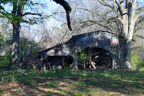
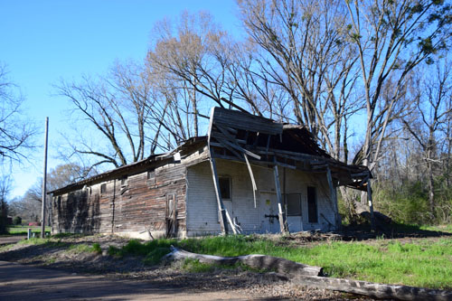
Then back to
extremes as I explored the area to find the next historic building.
|
|
|
 |
|
|
 |
|
|
|
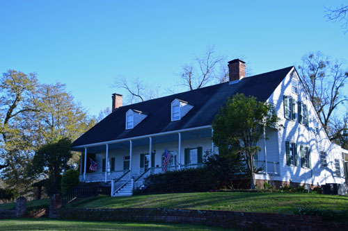
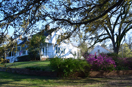
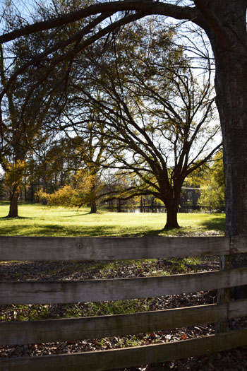
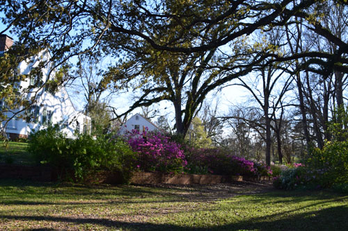
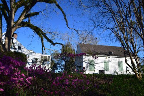
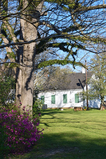
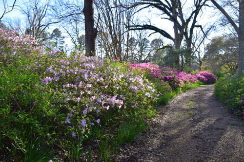
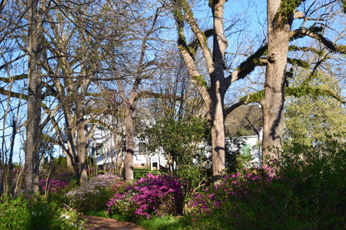
Then, an historic
planter's homestead, Selma, built in 1811 in the middle of nowhere,
whose lawns and drives were more lovely than the house itself.
|
|
|
 |
|
|
 |
 |
|
|
|
 |
|
|
 |
|
|
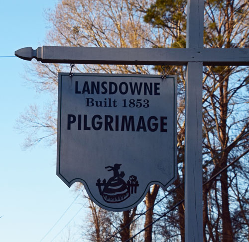 |
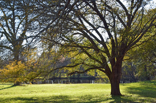
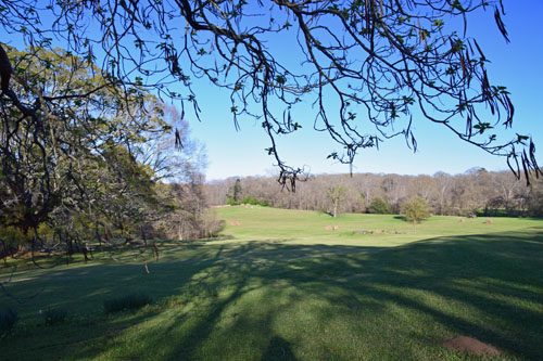
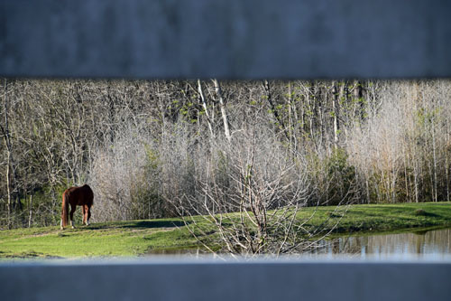
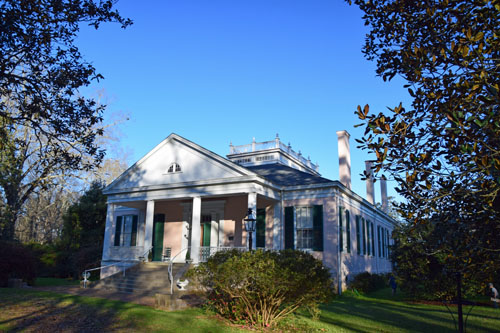
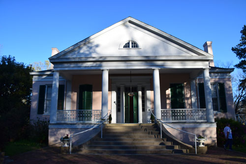
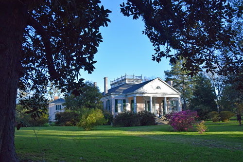
The Lansdowne
Plantation was another on the outskirts of town, where I met a lovely
family. Their daughter explained that the high blocks at the front of
the property were for stepping into carriages 150 years ago...not for
holding flower planters. :-) |
|
|
 |
 |
 |
|
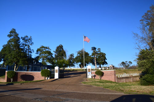
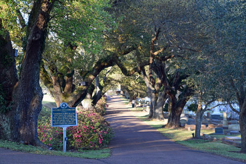
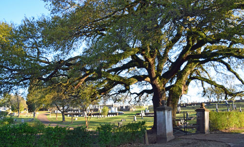
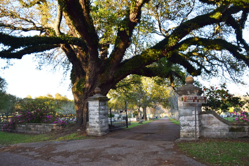
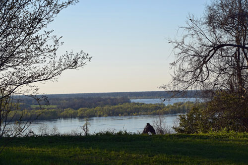
The military
cemetery and the town cemetery are adjacent to each other...and across
from high embankments that lead down to the Mississippi river.
|
|
|
 |
 |
|
|
|
|
|
 |
|
|
|
|
 |
|
|
 |
|
|
|
|
 |
 |
|
|
|
 |
 |
|
|
|
 |
 |
|
|

|
|
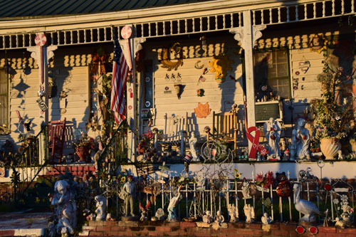
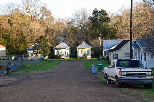
Just down the street
are those less fortunate neighbors...I wonder how much has changed since
the late 1800s? |
|
|
|

|
 |

|
|
March 13
After a truly
wonderful stay, it was time to say goodbye to the Grand Hotel and head
south towards New Orleans.
Once there, I checked back into a single room at the Pontchartrain
Landing and then drove into town to wander the areas I hadn't yet seen.
The French
Quarter was jammed, as always...with automobile and human traffic.
These 'ghost bikes' are a melancholy memorial to bicyclists who have
been killed by motorists in New Orleans.
|
|

|
 |
|
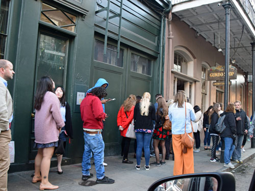
Must have been great
gumbo at this place!
|
|
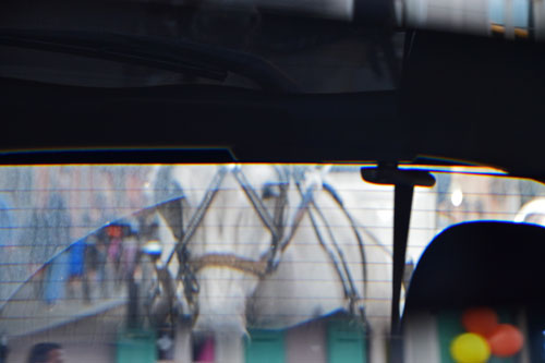
This horse, drawing
a carriage, kept getting closer and closer in my rearview mirror!
 |
|
|
 |
|
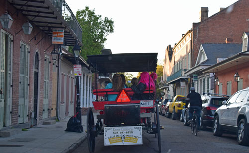
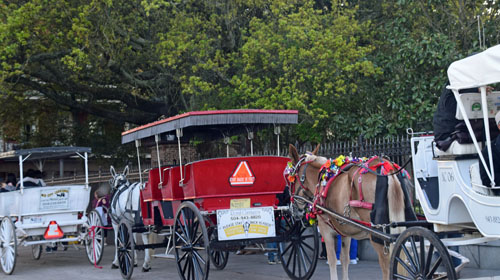
And there were lots
of other carriages around.... |
|
|
 |
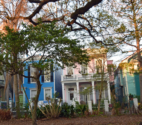
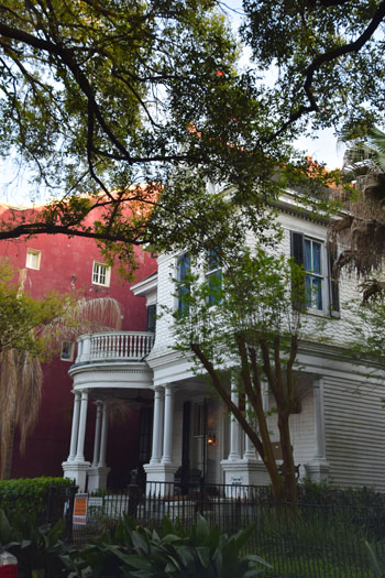
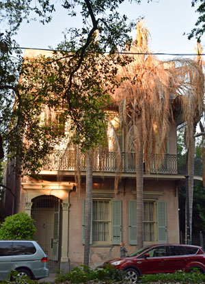
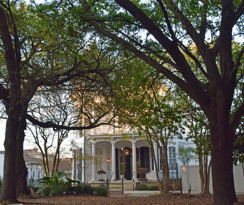
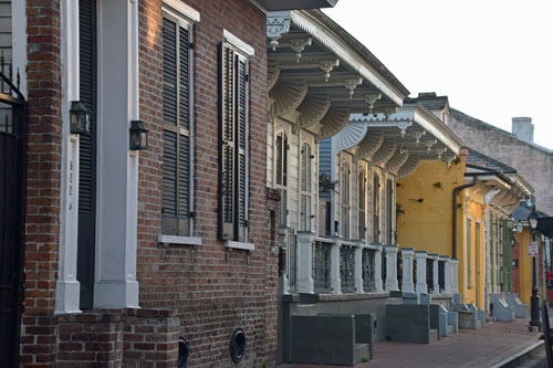
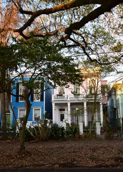
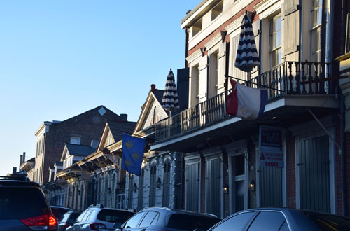
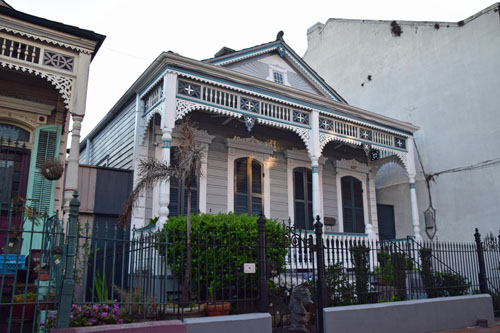
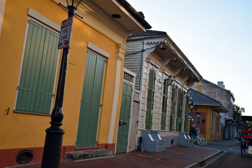
NOLA has its own
architectural flare, for sure.
|
 |
|
 |
|
 |
|
|
|
 |
|
|
|
March 14
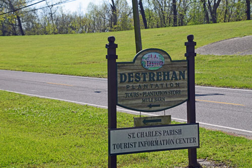
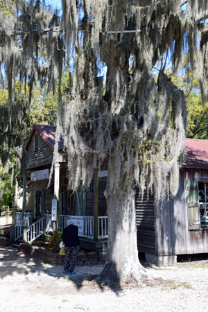
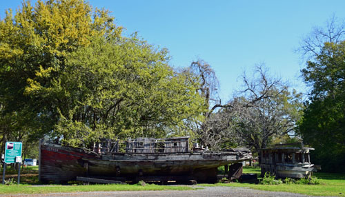
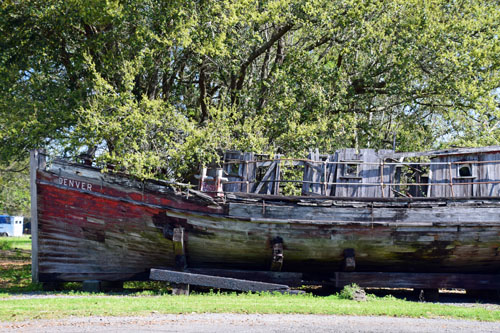
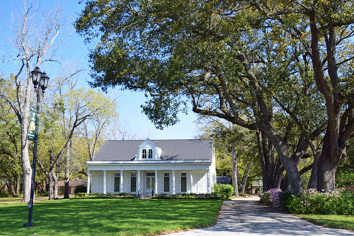
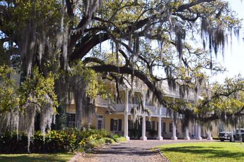
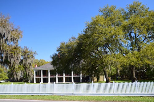
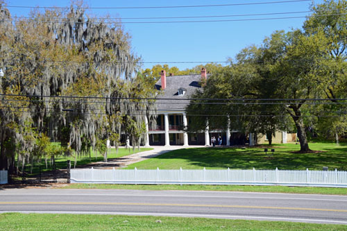
And the next
morning, I had time to wander some nearby New Orleans plantations before
heading, late morning, to the airport.
|
 |
|
 |
|
|
|
 |
|
The electrical wires
have been an intrusion in all the pictures on this trip...but I guess
that it's not a good idea to put wires underground when you're
surrounded and flooded with water much of the year!! |
|
|
 |
|
One last look at the
mighty Mississippi from the airplane.... |
|

|
|
And here's what
was waiting for me in the late evening of Wednesday, March 14th, in Portland, Maine...
and this was after the snow had had a very warm
day to melt before I arrived!! |
